Inland ECDIS charts
Inland ECDIS chart production
Periskal is already 27 years active in the production of electronic charts. In the early ’90 charts were produced in various GIS formats like Microstation DGN. Periskal cvba developed these electronic charts together with the VUB – Free University of Brussels, department Elec of Prof. Van Biesen. Already in that time vector charts were much more advanced than raster charts. The layered approach made it possible to make intelligent applications.
A lack of standardisation in het maritime world made it very difficult to exchange data between authorities and private manufacturers and between other players. The need for a international transfer standard became more urgent. Early standards like DX90 were not successful but S-57 version 3 was slowly accepted as the means to transfer martime data.
For use on inland waters ECDIS S-57 was not enough. Many symbols like buoys and panels, used on rivers and canals, were not available. To fill this gap the ‘Inland Ecdis Expert group’ was founded to establish enhancements upon the ECDIS S-57 standard. This became then the Inland ECDIS S-57 standard. The support for this standard is still growing and various workshop between major players over the world were held. The IEHG, inland ECDIS Harmonisation Group is dealing with worldwilde standardization of Inland ECDIS. Alignment with the maritime standard will be achieved by S-100, defined by IHO, this standard will incorporate also Inland ECDIS. Further developments on Inland ECDIS will be done in S-401.
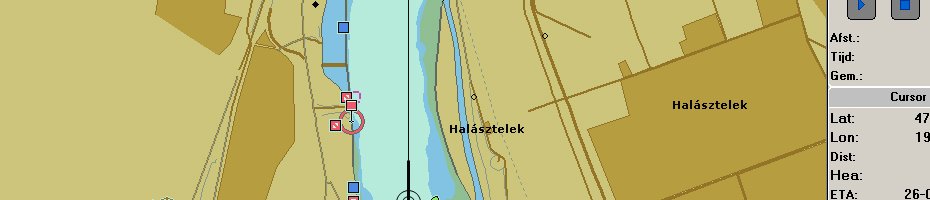
Periskal became a real expert in the production of Inland ENC data. Strategic partnership with the company Seven C’s in Germany led to the installation of Seven C’s production tools in the offices of Periskal. Staff was trained and developed the skills in the field of Inland ECDIS. Out of various sources like DGN, Autocad DXF, Shape files, XYZ data, paper charts etc… these inland maps in Inland ECDIS format are produced. For use within Periskal applications and other software developers charts of all inland rivers in Europe were produced, like Rhine, Po, Odra, Moezel, Main and Danube.
Several projects for authorities in the field of ENC (Electronic Navigation Chart) have taken place. One of the first was the production of the whole Zeeland area in Inland S-57 format for the Dutch Rijkswaterstaat. This project was followed by another one for AVV, Rijkswaterstaat in Rotterdam.
The EU Compris project became the real breakthrough in this field. Together with river authorities all over Europe new stretches of rivers and canals were covered. We can mention the ENC production of the Danube in Slovakia, the Danube in Croatia and Serbia, the Danube in Ukraine etc… With many port authorities over Europe cooperation’s have been set up to produce up to date electronic chart data. E.g. Port of Amsterdam, Port of Antwerp, Port of Brussels, Port of Ghent, Port of Moerdijk, Waterwegen en Zeekanaal, De Scheepvaart, Flemish Ministry of Infrastructure, AIPO Waterway Agency of the River Po, IWA Szczecin Poland, SPW - Service de Public Wallonie -Belgium, DR Congo etc.
Which services are available?
1. ENC production out of source data in the premises of Periskal. Source data can be satellite images, paper charts, digital source data in DGN or DXF format, shape files, XYZ point and depth data etc.
2. ENC production training on site with remote assistance during production
3. Sales of ENC production tools and databases